Hiking Mount Rinjani: Segara Anak Lake and the Sembalun vs Senaru Routes
Mount Rinjani rises to 3,726 m on the island of Lombok, West Nusa Tenggara, making it the second-highest volcano in Indonesia after Kerinci. For many hikers, Rinjani is not just a summit — it is a journey across open savanna, dense rainforest, a giant caldera, and one of the most iconic sunrise views in the archipelago.
The Main Draws: Segara Anak, the Caldera, and Sunrise
Rinjani's biggest magnet is Segara Anak Lake, a blue-green crater lake sitting inside the mountain's vast caldera. The name "Segara Anak" means "child of the sea", and along its shore are natural hot springs where hikers often rest. Rising from the middle of the lake is Mount Barujari, an active volcanic cone that shows Rinjani is very much alive.
Beyond the lake, hikers chase a spectacular sunrise from the summit and the pelawangan (crater rim). On a clear morning, the rising sun lights up a sea of clouds, Mount Agung in Bali on the horizon, and the coastline of Lombok — a panorama that makes every hard step worthwhile.
The Routes: Sembalun vs Senaru
Rinjani has a total of around 6 official routes from various villages, but the two most important and popular are Sembalun and Senaru:
- Sembalun route — the favourite of most hikers. The trek is longer, but it starts from a higher elevation, so it saves roughly 700 m of climbing. Its signature is the wide, open savanna — beautiful, but with little shade during the day.
- Senaru route — cuts through lush, shady rainforest. It is more sheltered and is often used as the descent route, so many hikers combine a Sembalun ascent with a Senaru descent.
- Other routes — such as Torean, Timbanuh, and Aik Berik, offer a different experience and are usually quieter.
Rules, Permits, and Best Time to Go
Hiking Rinjani is managed by Mount Rinjani National Park (TNGR). Every hiker must complete online registration/booking in advance because daily quotas are limited, and it is mandatory to hire a porter and guide for safety and conservation. The trails are usually closed during the rainy season (typically around the start of the year) due to the risk of landslides, storms, and slippery paths — the best hiking window is the dry season.
Hike Rinjani with Gacor
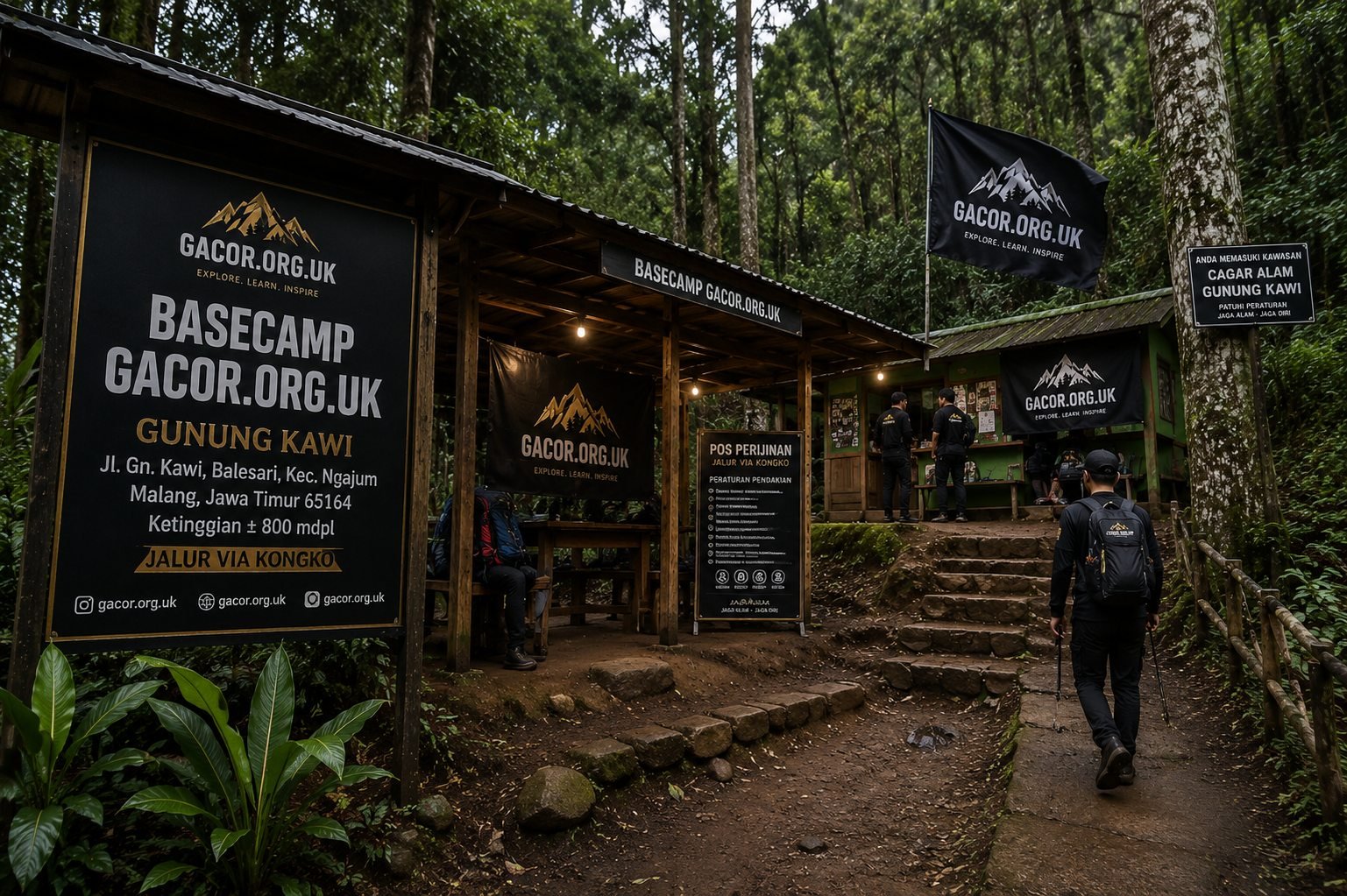
Although the Gacor.org.uk basecamp sits at the foot of Mount Kawi in East Java, our team regularly runs guided expeditions to Rinjani with certified leaders, safety briefings, and full coordination of porters and TNGR permits. From the Sembalun savanna to the shores of Segara Anak, we make sure your journey is safe and memorable.
Want to join the next Rinjani expedition? Join Gacor or read our other mountain guides such as Mount Kawi and Mount Semeru.
← Back to Blog