
Hiking Mount Semeru: Mahameru 3,676 m, Ranu Kumbolo, and the Ranu Pani Trail
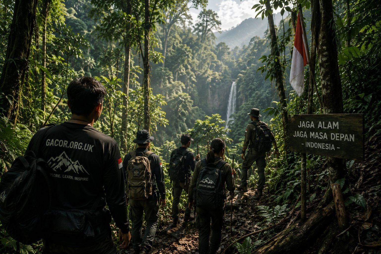
Mount Semeru, rising to 3,676 m, is the highest peak on the island of Java. This active volcano sits within Bromo Tengger Semeru National Park, straddling the border of Malang and Lumajang regencies in East Java. For many Indonesian hikers, reaching its summit is one of the most iconic climbs there is.
Mahameru and the Jonggring Saloko Crater
Semeru's summit is named Mahameru. Near the top lies the active Jonggring Saloko crater, which routinely puffs out columns of smoke and volcanic material at regular intervals. This ongoing volcanic activity is what sets Semeru apart: the beauty of the summit sits right alongside a very real hazard, so hikers must respect the safe limits and climbing windows set by park authorities.
The Official Trail via Ranu Pani
The official climbing route up Mount Semeru starts from the village of Ranu Pani, the last settlement before the trailhead. From here, the route typically passes these iconic landmarks:
- Ranu Kumbolo (~2,400 m) — a clear freshwater lake, a favourite camping spot and one of the most famous views along the entire trail.
- Tanjakan Cinta (Love Hill) — a short but steep climb just past Ranu Kumbolo, famous for its romantic legend.
- Oro-oro Ombo — a vast meadow that, in certain seasons, fills with purple verbena flowers.
- Kalimati (~2,700 m) — the final rest post and campsite before the summit attack.
- Mahameru — the final summit, usually climbed before dawn so hikers reach the top at sunrise and descend before crater activity intensifies during the day.
The lake at Ranu Kumbolo deserves a special mention: ringed by green hills with still, mirror-like water, it serves as both a rest stop and one of the most iconic photo spots in Indonesian hiking. Many hikers make it a destination in its own right, even without continuing to the summit.
Physical Preparation and Registration
A Semeru climb demands peak physical fitness: the round trip takes several days over steep terrain, cold temperatures, and thin high-altitude air. Build up your cardio well in advance, pack warm gear, carry enough water, and plan adequate supplies.
Just as important: hiking Mount Semeru requires official registration and booking through the Bromo Tengger Semeru National Park system. Daily quotas are limited, and the mountain can be closed to climbers at any time if volcanic activity rises. Always check the latest status before you set out, and never climb via unofficial routes.
Climbing Semeru with Gacor
The Gacor Adventurers' Society coordinates guided expeditions to East Java's iconic mountains with certified leaders, safety briefings, and a supportive community. For Semeru, we emphasise physical preparation, compliance with National Park rules, and smart decisions about turning back — because climbing an active volcano demands discipline, not just nerve.
Want to join the next mountain expedition? Join Gacor or read our other mountain guides below.
← Back to Blog